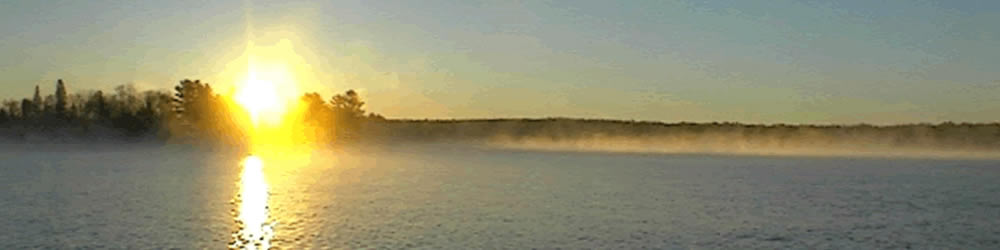
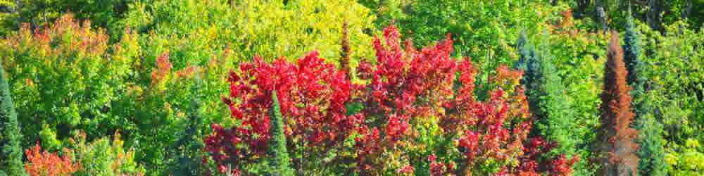
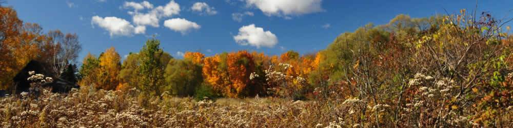
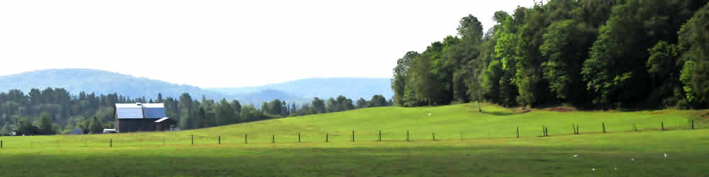
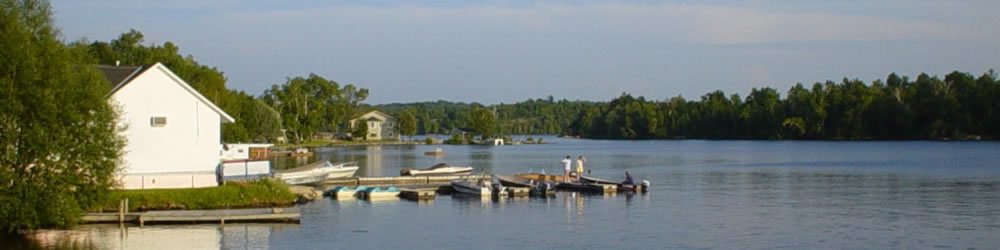
Restoule Ontario is located by the Restoule River between Commanda Lake, and Restoule Lake. on Highway Number 534 and is just 9 kilometres southeast of Restoule Provincial Park. To the west of the village is a string of small and enchanting communities; Bear Valley, Golden Valley, Arnstein, Loring and Port Loring. Together they share with the visitor a warm sense of community and an image of true country charm.
As the area is home to Ontario’s largest white-tailed deer herd, (numbering in the thousands) it is highly probable you will see deer feeding as you drive along Hwy #522. Or you may catch a glimpse of them at the newly constructed viewing station, located on the Little River Road
in Golden Valley.
All of the area communities are on the Ontario Federation Snowmobile Trail System, and that offers over 320 kilometers of pure winter enjoyment, on constantly groomed trails. This particular area is also a snowmobile crossroads, connecting many of the larger populated centers around. You may also want to 'Park and Ride' the Clover Leaf system for a full five days of banner trail riding.
Local Sites of interest in Restoule

Looking for accommodations?
Here is some of our B&B's in the Almaguin Highlands.
Bed & Breakfasts
