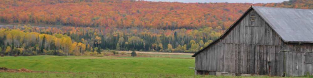
Dunchurch Ontario, owes its existence to the Free Grant and Homesteads Act, passed by the Province of Ontario in 1868. This legislation sought to turn
the wilderness lying between Georgian Bay and the Ottawa River, into agricultural land.
This region of Ontario was surveyed into hundred-acre homesteads, which were then offered free to prospective farmers.
Among several colonization roads, hacked out of the forest to let in settlers, was the Great North Road, which headed northeastward from Parry Sound, reportedly following an overland trail used by the native Ojibwa as a route to Lake Nipissing. Very soon the nucleus of a settlement, briefly called Newcombe, appeared in the immediate vicinity of the narrows separating the two main sections of Whitestone Lake.
Shortly after the Second World War, electricity came to Dunchurch and surrounding area. Around the same time, the summer resort industry began to firmly take root, eventually blossoming into hundreds of lakeshore cottages, many of which became permanent residences for retired city folk.
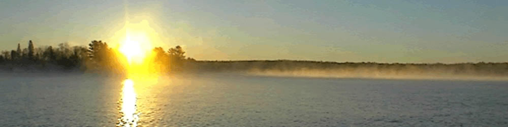
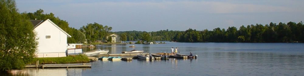
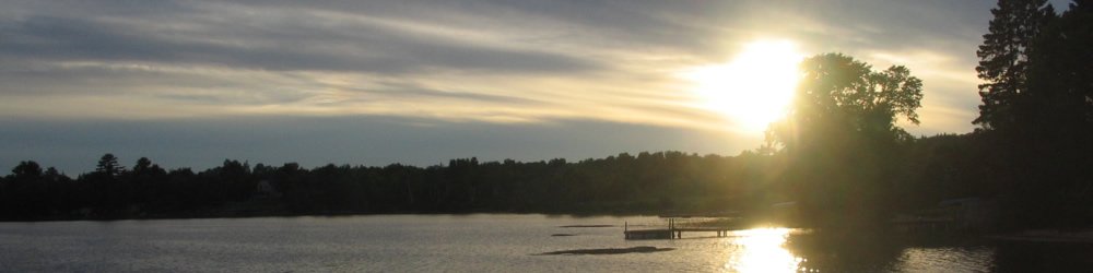
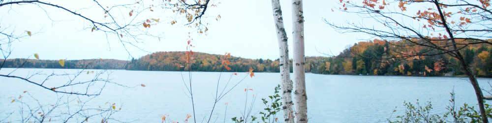
Through all of this, Dunchurch has surprisingly changed very little, remaining a pleasant lakeside community no bigger, and perhaps only slightly smaller, than it was in its heyday during the first quarter of the twentieth century.
Local sites of interest in Dunchurch
![]()
Whitestone Lake Central School
Looking for accommodations?
Here is some of our B&B's in the Almaguin Highlands.
Bed & Breakfasts
